Fast, Accessible, Smart data…
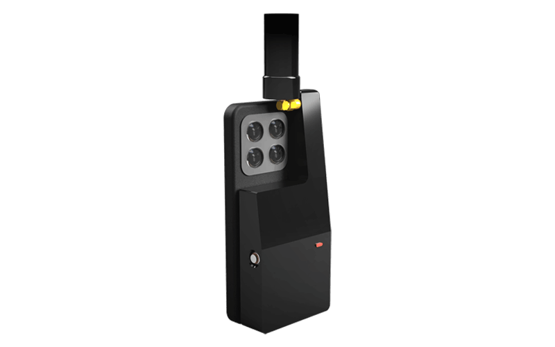
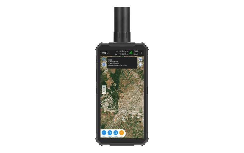
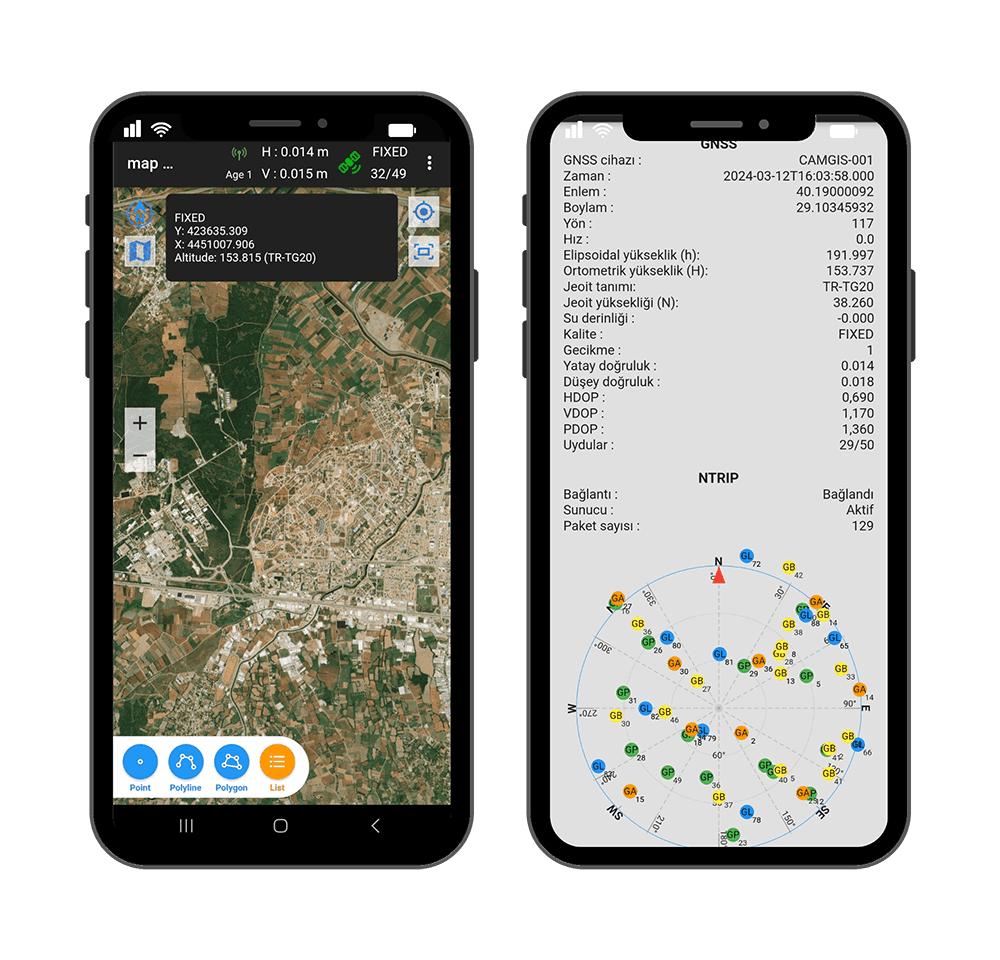
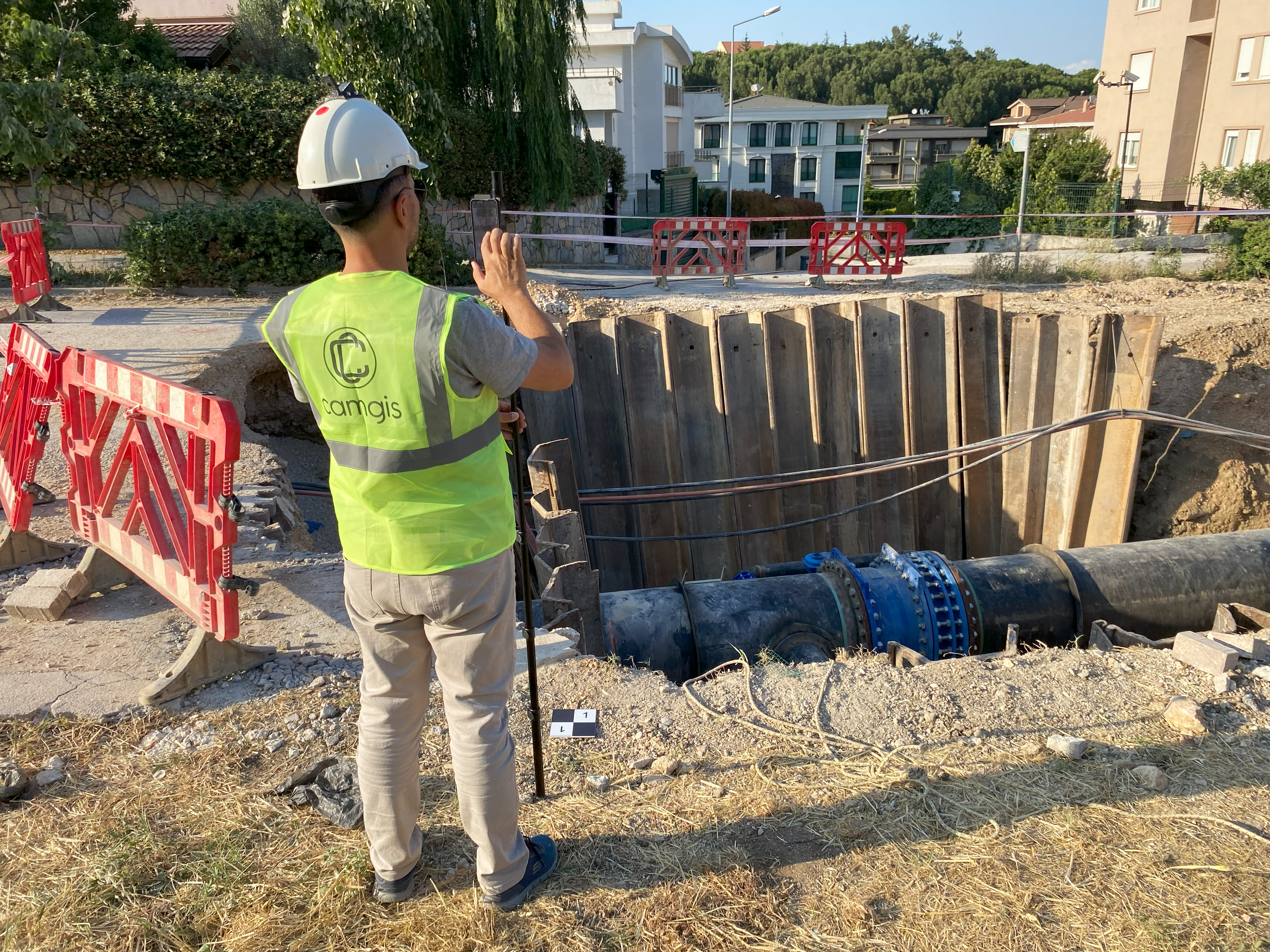
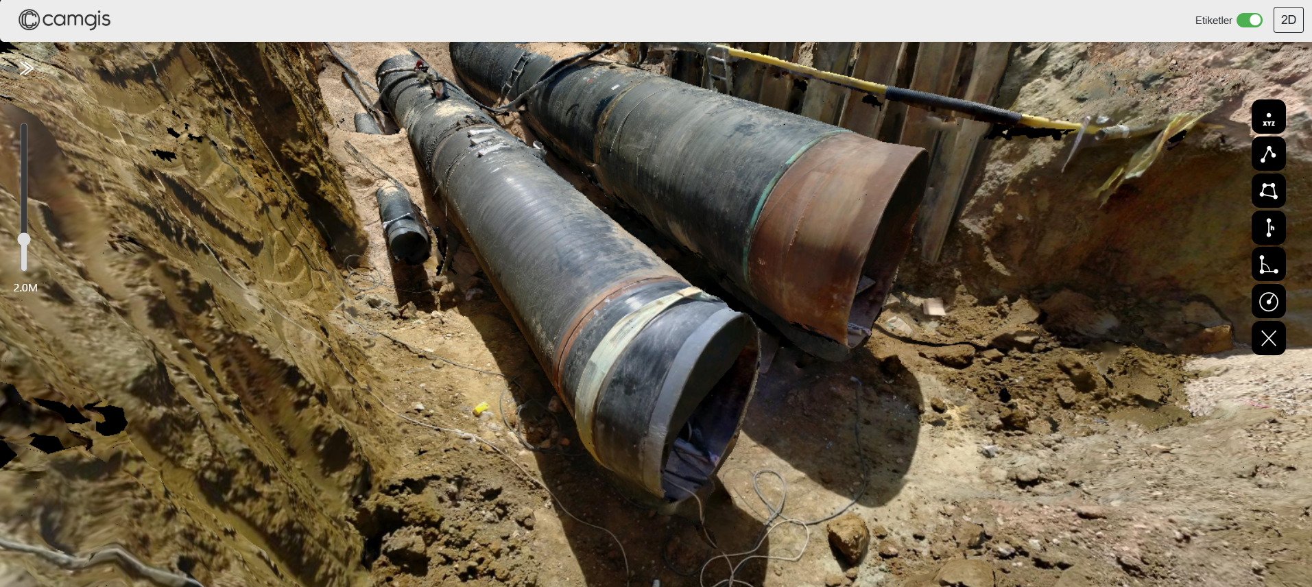
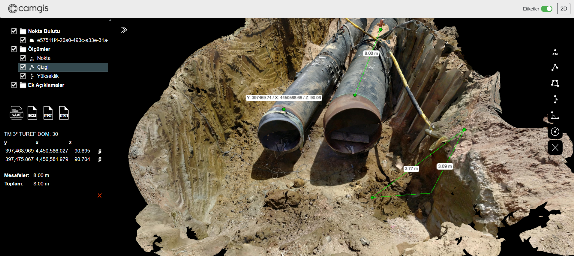
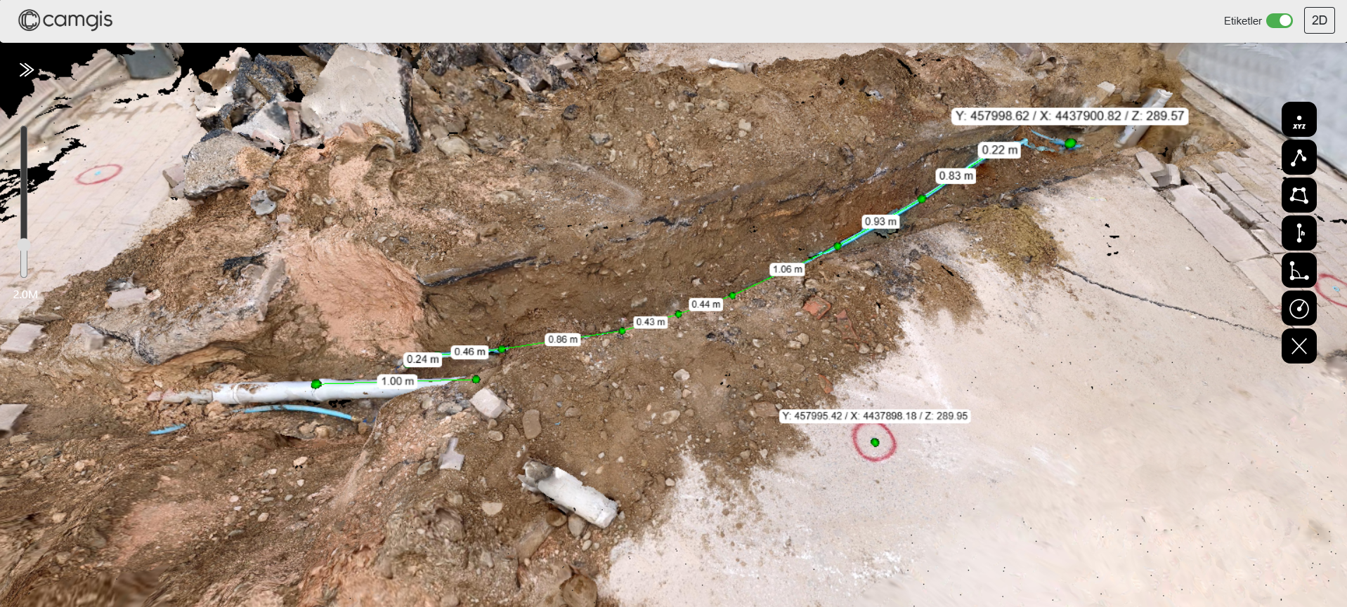
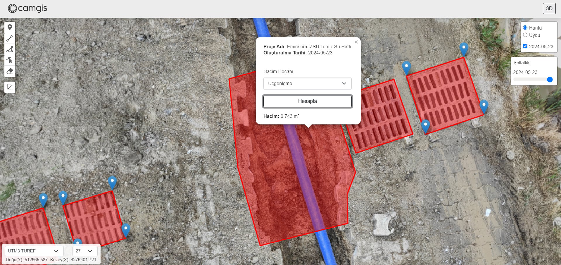
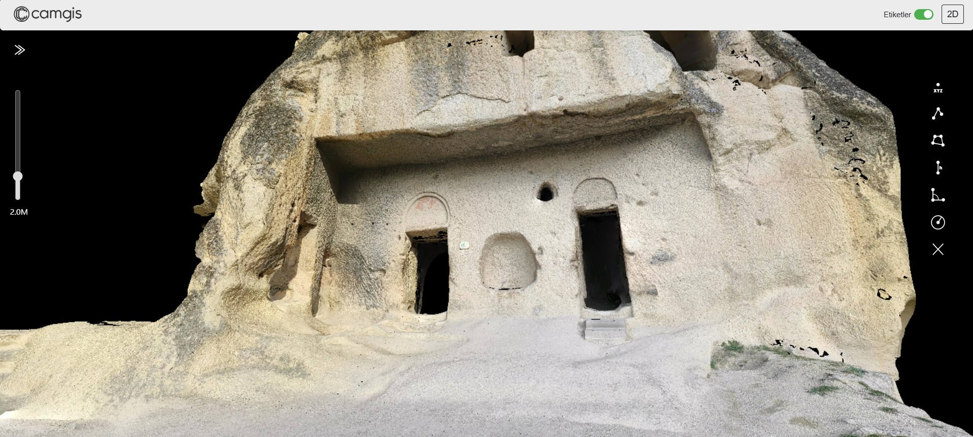
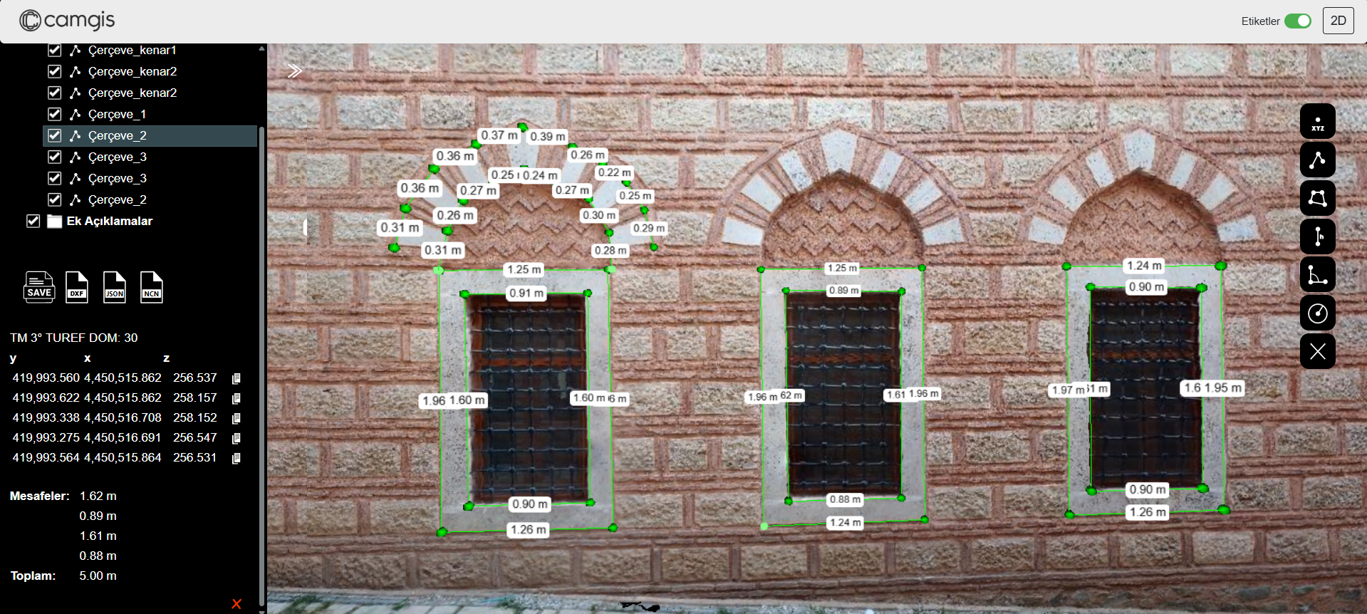
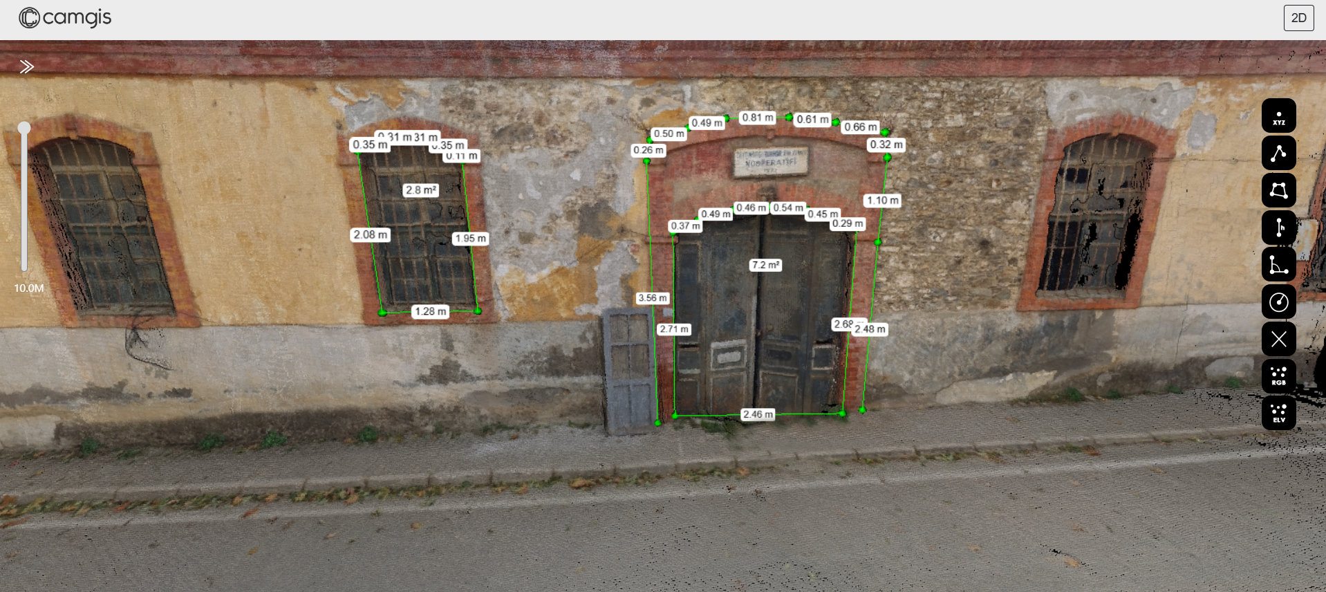
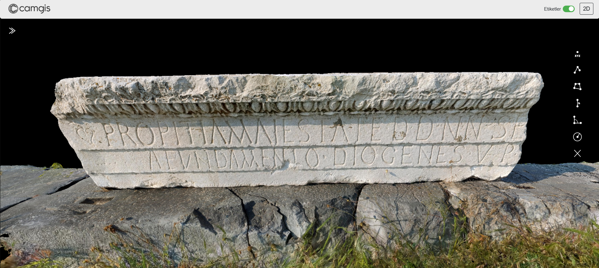
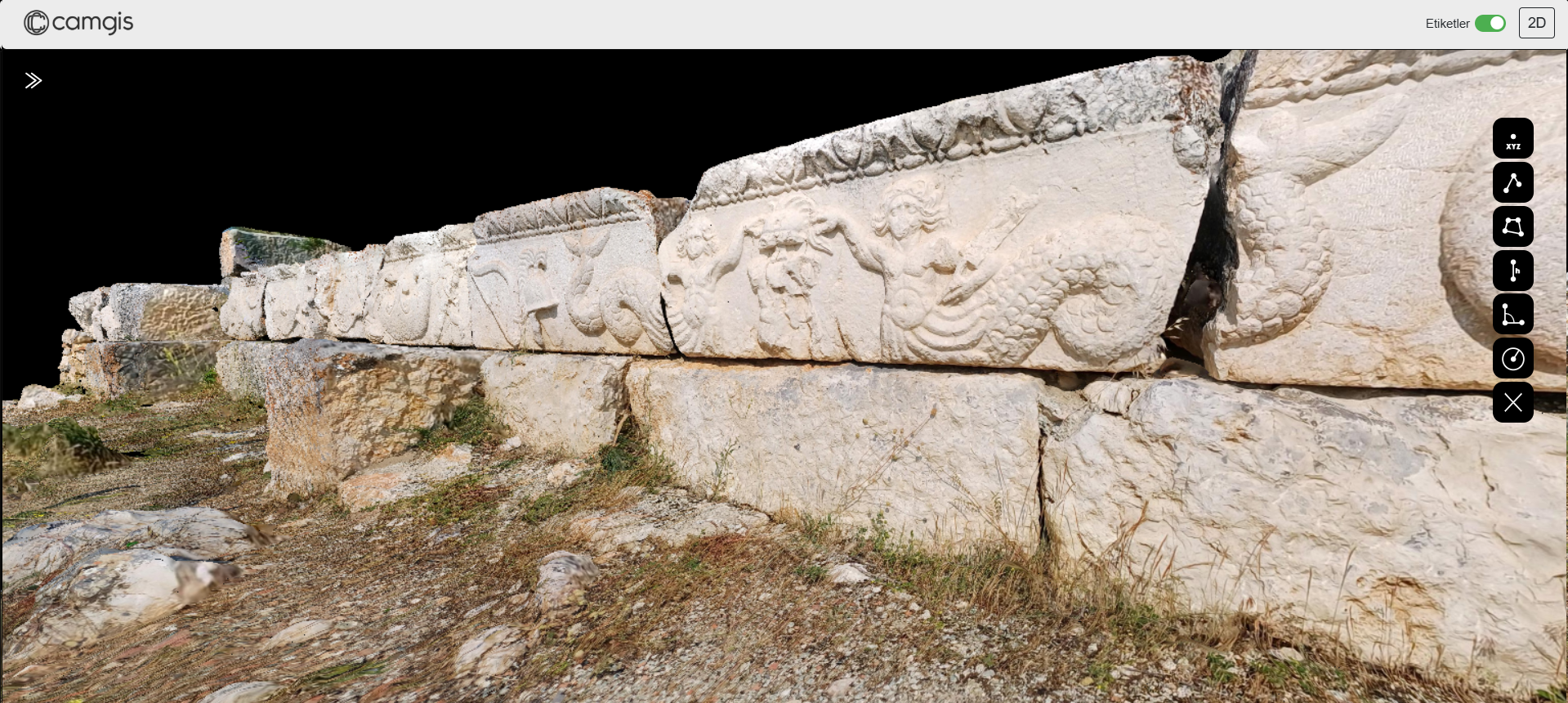
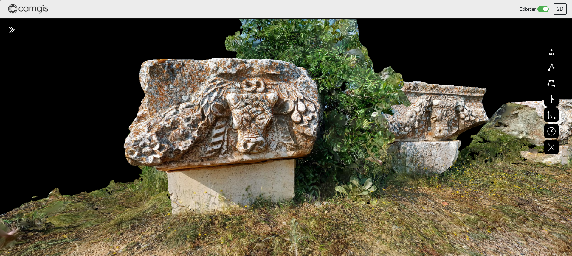
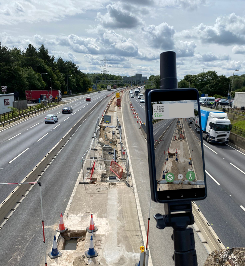
CAMGIS is an advanced solution that uses proprietary GNSS-based mobile photogrammetry to scan underground networks, construction sites, and cultural heritage assets with high precision, delivering automated 3D documentation and integrated data management.
Features